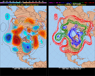
Going to take a look at what the forecast model are showing for the latter half of October into early November. We'll start off with the GFS Ensemble mean 2 meter surface temps (or what we would feel in terms of warmth of chill)
This is from Oct 25- Nov 1st. The GFS (US model) ensembles show more warmth (compared to normal this time of year) over much of the eastern US (excluding the upper Mid West) This is due to ridging building over the central US
With the ridging over Alaska that would imply more Surface Highs which in time will bring much colder temps into the North tier of the US which is what we see in the GFS ensembles (first image) We also take a look at the European model (which does pretty well in the long range) it too is in agreement with the GFS for the most part.
While I can't show the surface temp departures like the GFS above, we can get an idea of where the warm weather will be by looking at the next image (850 *5000ft* temps) or low level temps from the Euro model
This as well is inline with the GFS that the latter half of October should be mild for many in the east (though the North East and NW Pac will remain cooler than the central southern US) The Canadian model is a bit warmer than both the GFS and EC in this time frame
With all this in mind I believe we will see some Indian summer like weather on the way with temps in the central and Southern US (more so southern Plains) with temps around 80 and so 90s possible in parts of TX. Looking even further down the road last day or two of October into first few days into Nov we can see on the GFS and CFS (Climate Forecast system weekly) that cooler air may settle in!
Also the weekly forecast from the CFS is showing cooler air to move in replacing the warmth
This model (CFS) has done pretty well in the longer range and with ridging starting to show up around Alaska later in the time frame its only a matter of time before much colder air moves into the US!


