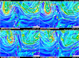
This upper Low being almost stationary for most of next week is being caused by a negative NAO or a large blocking High pressure over Greenland. This will keep most of the eastern US and North East cool with New England staying cool, cloudy and rainy at times. Here for central NC we should be temps head back to around 80 for Sunday and maybe Monday before that upper Low sends another bit of upper level energy down through parts of the Mid West and through the South East mid week seen here on the GFS model.
A frontal boundary should stall and perhaps washout somewhere over the South East next week as seen by the ECMWF model for Wednesday.
So while the start of June should be cool and below normal for much of the eastern US, there are some signs of the -NAO breaking down and much warmer/hot weather should flood the eastern US later in June.


